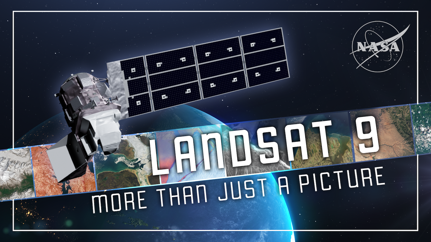
Landsat 9: More Than Just A Picture
Landsat Navigation Landsat Home Missions Landsat Next Landsat 9 Landsat 8 Landsat 7 Landsat 6 Landsat 5 Landsat 4 Landsat 3 Landsat 2 Landsat 1 News Latest News People of Landsat Q&As Newsletter Publications Data Overview Cal/Val Open Data Benefits Overview Agriculture & Food Security Disaster Management Ecosystems & Biodiversity Energy Resources Forest Management [...]