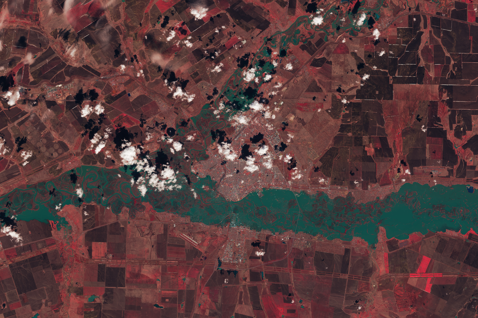
 Rivers swelled in southern Russia and northern Kazakhstan in April 2024 following heavy rain and rapid snowmelt. This image shows Orenburg on April 13, the day river levels peaked. This scene was acquired by the OLI-2 (Operational Land Imager) on Landsat 9. NASA/Michala Garrison, USGS Ural River levels peak in this April 13, 2024, enhanced color image from Landsat 9; here, vegetation appears red, while water is blue-green. After heavy rain and rapid snowmelt, rivers in southern Russia and northern Kazakhstan swelled, flooding homes and displacing thousands of people.
Landsat 9, the latest satellite in the Landsat series, contributes a critical component to the international strategy for monitoring the health and state of the Earth, allowing more frequent observations. Data from Landsat 9 can be used to inform decisions in key areas like urban expansion, coral reef degradation, and natural disasters.
Image Credit: NASA/Michala Garrison, USGS