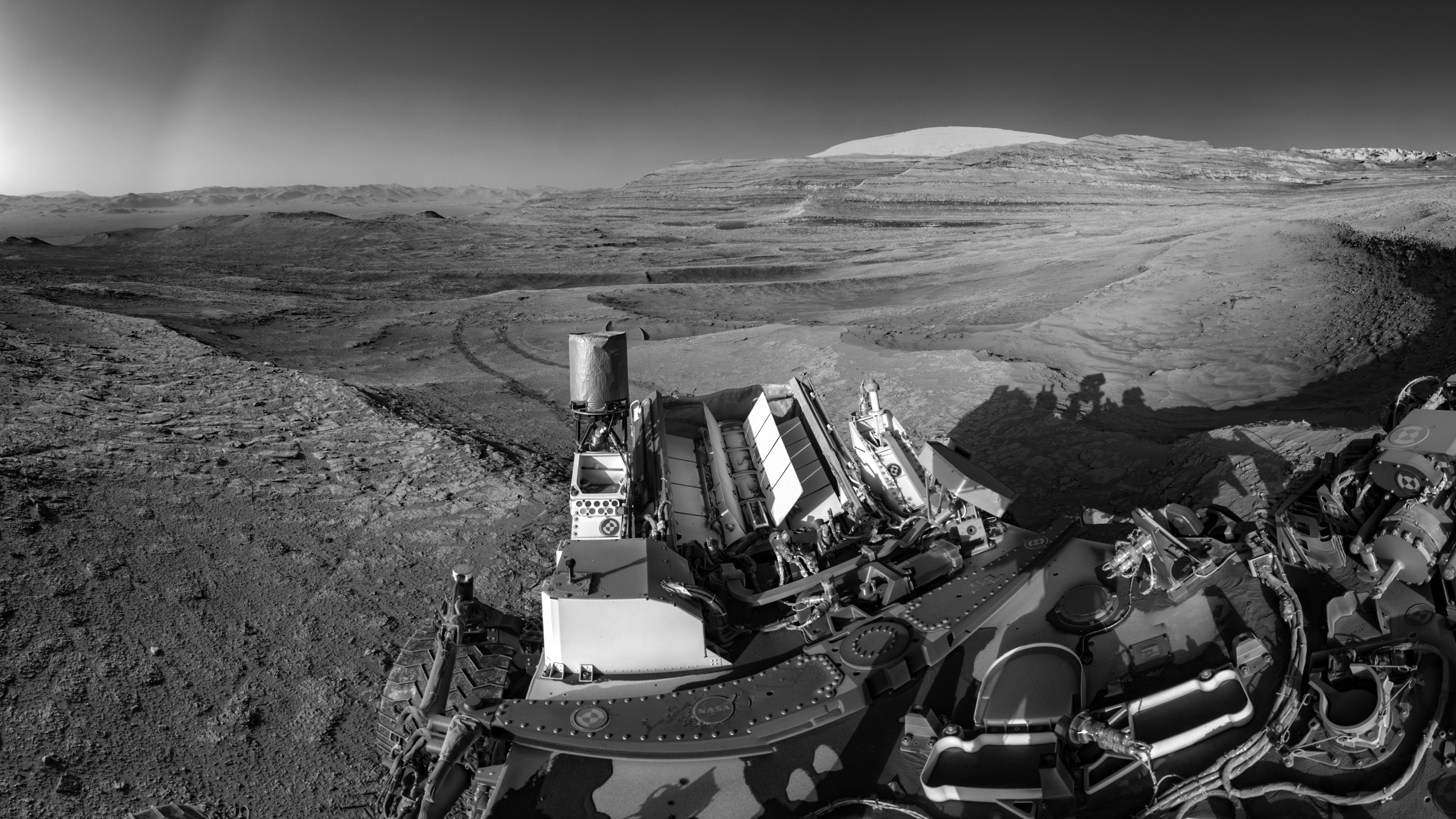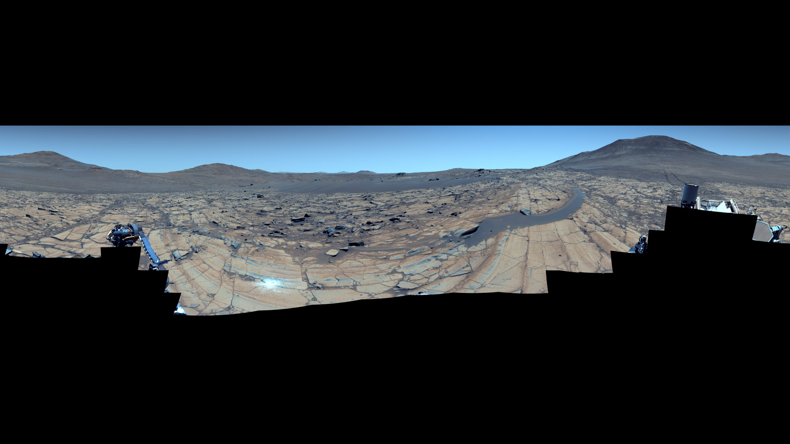
NASA’s Perseverance Rover Captures Mars Vista As Clear As Day
Captured at a location called “Falbreen,” this enhanced-color mosaic features deceptively blue skies and the 43rd rock abrasion (the white patch at center-left) of the NASA Perseverance rover’s mission at Mars. The 96 images stitched together to create this 360-degree view were acquired May 26, 2025.NASA/JPL-Caltech/ASU/MSSS In this natural-color version of the “Falbreen” panorama, [...]