NASA to Provide Coverage of Progress 91 Launch, Space Station Docking
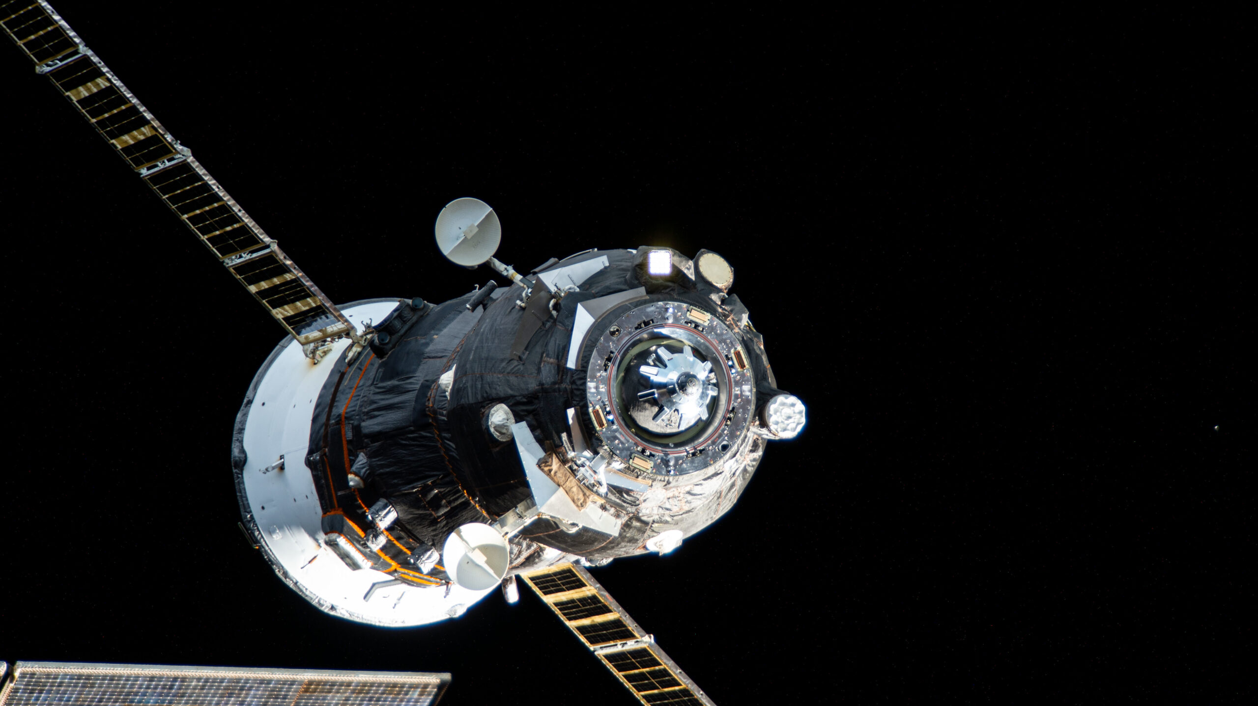
The unpiloted Roscosmos Progress spacecraft pictured on Aug. 13, 2024, from the International Space Station.Credit: NASA NASA will provide live launch and docking coverage of a Roscosmos cargo spacecraft delivering approximately three tons of food, fuel, and supplies for the crew aboard the International Space Station. The unpiloted Roscosmos Progress 91 spacecraft is scheduled to [...]