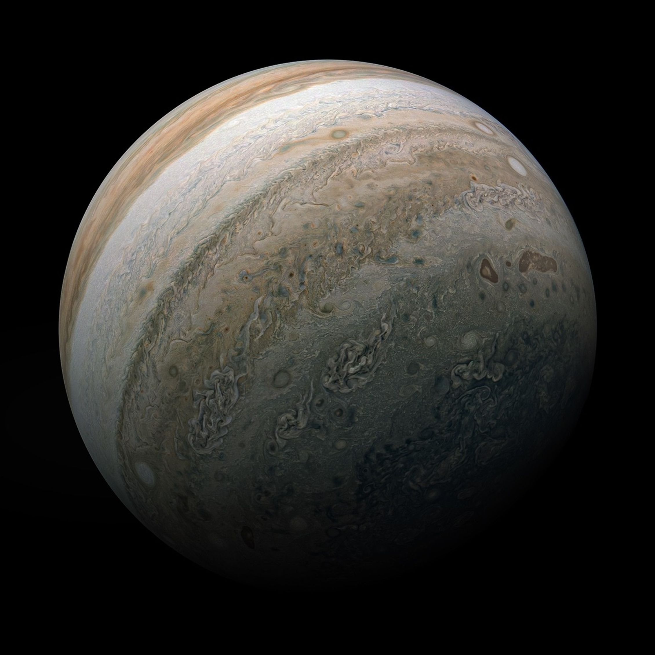
Explore This SectionScienceEuropa ClipperSource Region for Possible…Europa Clipper HomeMissionOverviewFactsHistoryTimelineScienceGoalsTeamSpacecraftMeet Europa ClipperInstruments Assembly Vault PlateMessage in a BottleNewsNews & FeaturesBlogNewsroomReplay the LaunchMultimediaFeatured MultimediaResourcesAbout EuropaWhy Europa?Europa Up CloseIngredients for LifeEvidence for an Ocean  A map centered at the estimated source region for potential plumes from Europa.NASA/JPL-Caltech/SETI Institute Downloads View All Europa Resources Hi-res May 29, 2025
JPEG (2.71 MB)
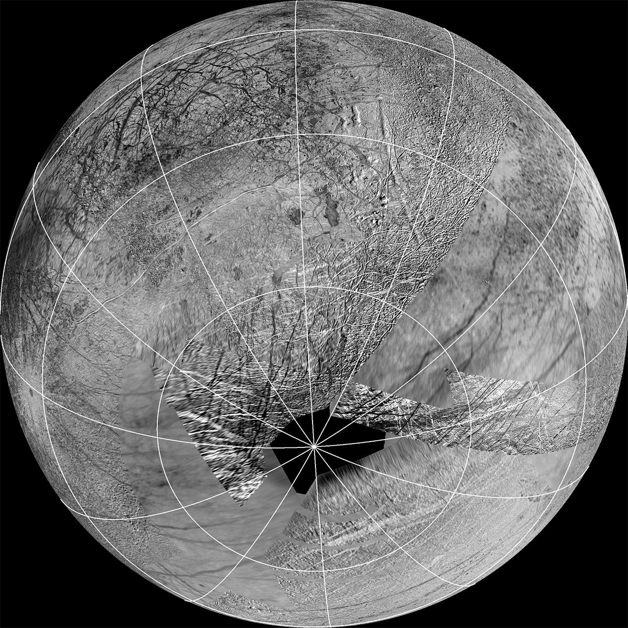
This reprojection of the official USGS Europa basemap is centered at the estimated source region for potential plumes that might have been detected using the Hubble Space Telescope. The view is centered at -65 degrees latitude, 183 degrees longitude.
In addition to the plume source region, the image also shows the hemisphere of Europa that might be affected by plume deposits. This map is composed of images from NASA’s Galileo and Voyager missions. The black region near the south pole results from gaps in imaging coverage.
Keep Exploring Discover More Topics From NASA Europa Clipper Resources