Curiosity Navigation Curiosity Home Mission Overview Where is Curiosity? Mission Updates Science Overview Instruments Highlights Exploration Goals News and Features Multimedia Curiosity Raw Images Images Videos Audio Mosaics More Resources Mars Missions Mars Sample Return Mars Perseverance Rover Mars Curiosity Rover MAVEN Mars Reconnaissance Orbiter Mars Odyssey More Mars Missions Mars Home 2 min read
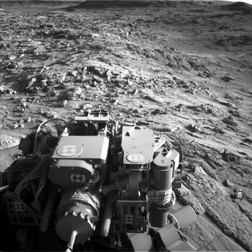
Sols 4534-4535: Last Call for the Layered Sulfates? (West of Texoli Butte, Headed West)  NASA’s Mars rover Curiosity acquired this image using its Left Navigation Camera on May 6, 2025 — Sol 4532, Martian day 4,532 of the Mars Science Laboratory mission — at 20:46:30 UTC. Written by Lucy Lim, Planetary Scientist at NASA’s Goddard Space Flight Center
Earth planning date: Wednesday, May 7, 2025
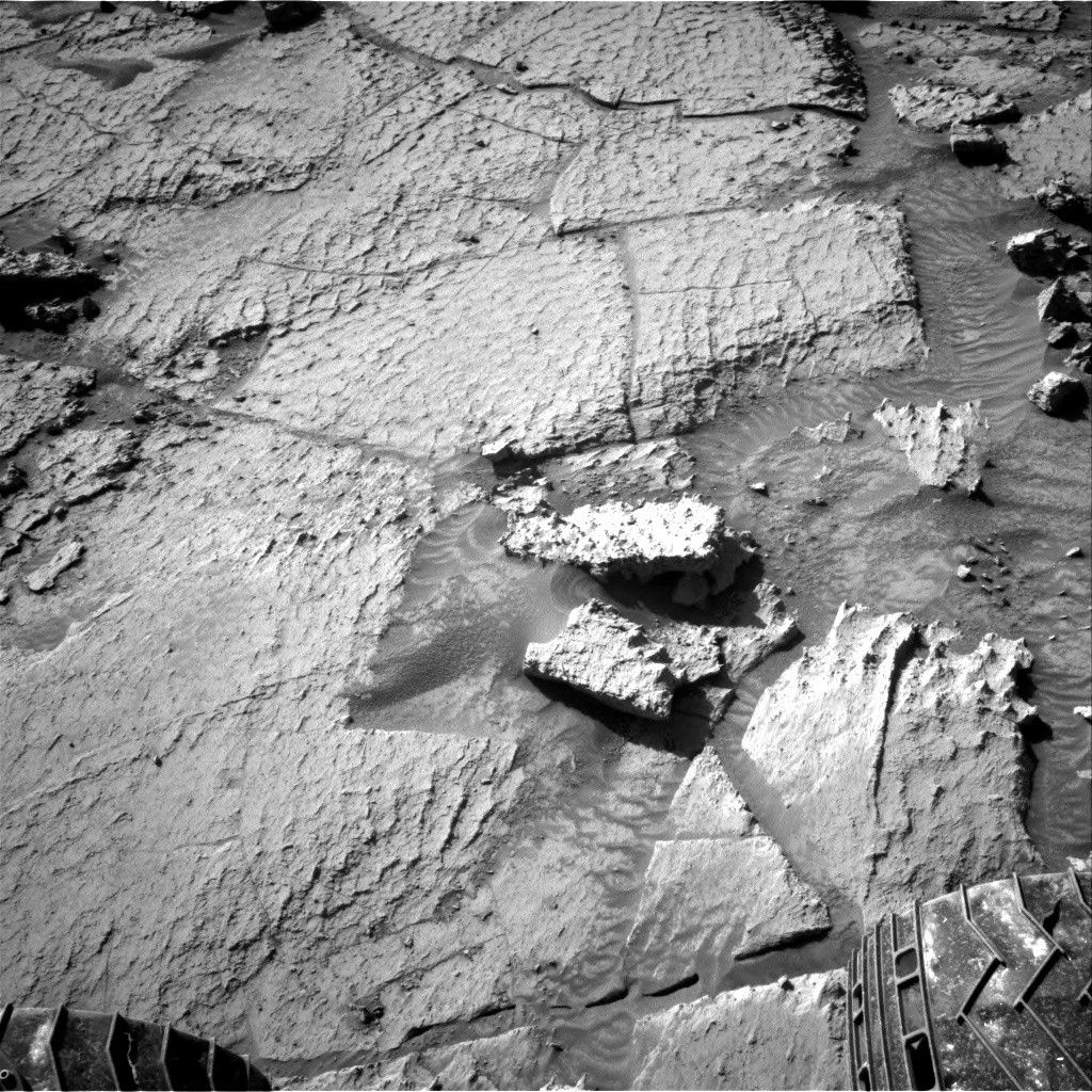
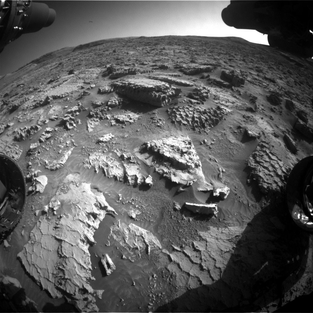
The drive from the Monday plan brought Curiosity up next to a geomorphic contact visible in the orbital data (from Mars Reconnaissance Orbiter’s HiRISE imager). To the east of the contact are the layered sulfates that Curiosity has been driving through ever since climbing out of the Gediz Vallis channel, with a relatively rough surface texture; to the west this rougher texture gives way to a smoother-appearing surface cross-cut at a large scale with the rectilinear “boxwork” features. We are looking forward to seeing what this change looks like from a rover’s-eye view in the drives to come!
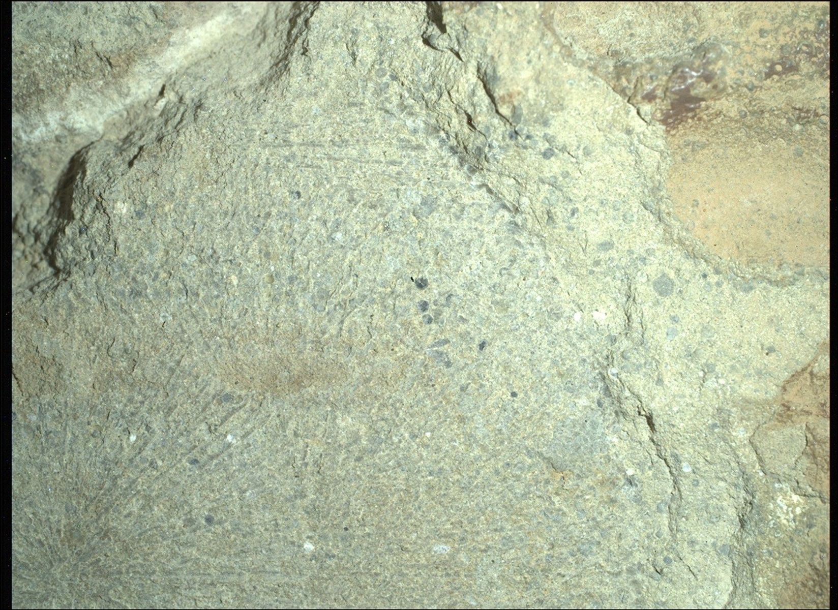
For today’s science plan, the contact is not quite in reach of most of the rover’s instruments, so in the workspace we are focusing on collecting our last observations of the previous unit of layered sulfates. As we saw in the Sol 4532 workspace, many nearby blocks are honeycombed with polygonal fractures. However, this time the geochemical measurements from the APXS and ChemCam LIBS were co-targeted on a smooth brushable target, “Chumash,” which will also be documented in high-resolution imaging by MAHLI. The DRT brush will ensure that measurements of lighter elements such as sodium and magnesium by APXS are representative of the underlying bedrock, rather than the dusty layer on top. The brush will also give MAHLI a better view of the block and a chance to characterize the grain size of these sedimentary rocks.
The long-distance ChemCam remote-imaging mosaic in this plan is targeting a scour feature on the Texoli butte behind us, likely representing ancient wind events that took place near the time these layers were being deposited.
The sulfate/boxwork unit contact ahead of us will be imaged in a stereo mosaic by Mastcam. Smaller mosaics will cover some of the polygonal “honeycomb” features in nearby bedrock blocks and troughs in the regolith.
After making all these observations, the rover will drive across the contact. The second, post-drive sol will include several untargeted and automatically targeted observations. The AEGIS algorithm will provide a LIBS geochemical observation by ChemCam and the modern Martian environment will be monitored with camera measurements of cloud altitudes and atmospheric opacity, as well as the usual passive sensing from REMS and DAN.
Details Last Updated May 09, 2025 Related Terms Blogs
 2 min read Sols 4532-4533: Polygon Heaven
Article
1 day ago
 4 min read Sols 4529-4531: Honeycombs and Waffles… on Mars!
Article
4 days ago
 2 min read Searching for Spherules to Sample
Article
4 days ago
Keep Exploring Discover More Topics From NASA Mars
Mars is the fourth planet from the Sun, and the seventh largest. It’s the only planet we know of inhabited…

Explore this collection of Mars images, videos, resources, PDFs, and toolkits. Discover valuable content designed to inform, educate, and inspire,…

Each robotic explorer sent to the Red Planet has its own unique capabilities driven by science. Many attributes of a…

Mars Exploration: Science Goals
The key to understanding the past, present or future potential for life on Mars can be found in NASA’s four…

