Curiosity Navigation Curiosity Home Mission Overview Where is Curiosity? Mission Updates Science Overview Instruments Highlights Exploration Goals News and Features Multimedia Curiosity Raw Images Images Videos Audio Mosaics More Resources Mars Missions Mars Sample Return Mars Perseverance Rover Mars Curiosity Rover MAVEN Mars Reconnaissance Orbiter Mars Odyssey More Mars Missions The Solar System The Sun Mercury Venus Earth The Moon Mars Jupiter Saturn Uranus Neptune Pluto & Dwarf Planets Asteroids, Comets & Meteors The Kuiper Belt The Oort Cloud 2 min read
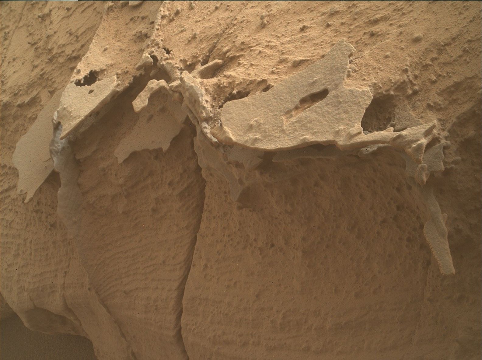
Sols 4362-4363: Plates and Polygons  NASA’s Mars rover Curiosity acquired this image using its Mars Hand Lens Imager (MAHLI) on Nov. 11, 2024 – sol 4360, or Martian day 4,360 of the Mars Science Laboratory Mission – at 00:06:13 UTC. NASA/JPL-Caltech/MSSS Earth planning date: Monday, Nov. 11, 2024
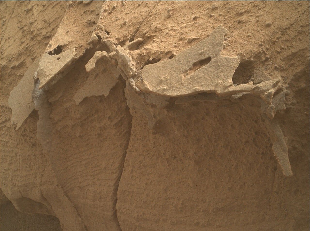
After a successful 23-meter (about 75 feet) drive today in pre-planning we found ourselves in front of some rocks with a curious dark, platy topping. This is similar to material we have seen previously including over the weekend where MAHLI imaged “Buttress Tree.” This beautiful hand-lens image is shown above, where you can see this more resistant platy texture at the top of the layered rock. Unfortunately it was deemed too unsafe to move the arm today, so no contact science observations were made on this dark material, but a plethora of remote science made up for it!
A curious curved fracture along a rock in the workspace became the target of our ChemCam LIBS laser shots called “Pioneer Basin.” ChemCam will then take a long-distance RMI looking back at Gediz Vallis channel, which we have been driving away from. Mastcam is focusing on taking two mosaics of areas of rocks that exhibit light- and dark-toned bands from orbit. We previously drove across these bands in January before we crossed the Gediz Vallis channel. Now that we are over the channel, we are about to drive on the dark, banded material once again. Mastcam is also imaging some interesting polygonal textures we see in a few rocks around the rover. To keep it simple, the science team named all four targets of polygonal rocks “Acrodectes Peak.”
As Curiosity drives further away from the Gediz Vallis channel, the exploration of the sulfate unit continues. Although the driving is tough at times, the beautiful discoveries and amazing geology make the tough times worth it. Let’s hope we can get some contact science activities safe and sound in the next plan.
Written by Emma Harris, Graduate Student at Natural History Museum, London
Details Last Updated Nov 13, 2024 Related Terms Blogs
Keep Exploring Discover More Topics From NASA Mars
Mars is the fourth planet from the Sun, and the seventh largest. It’s the only planet we know of inhabited…

Explore this collection of Mars images, videos, resources, PDFs, and toolkits. Discover valuable content designed to inform, educate, and inspire,…

Each robotic explorer sent to the Red Planet has its own unique capabilities driven by science. Many attributes of a…

Mars Exploration: Science Goals
The key to understanding the past, present or future potential for life on Mars can be found in NASA’s four…


 3 min read Peculiar Pale Pebbles During its recent exploration of the crater rim, Perseverance diverted to explore a strange, scattered…
 2 min read Sols 4359-4361: The Perfect Road Trip Destination For Any Rover!
 4 min read Sols 4357–4358: Turning West
