A new, higher-resolution infrared camera outfitted with a variety of lightweight filters could probe sunlight reflected off Earth’s upper atmosphere and surface, improve forest fire warnings, and reveal the molecular composition of other planets.
The cameras use sensitive, high-resolution strained-layer superlattice sensors, initially developed at NASA’s Goddard Space Flight Center in Greenbelt, Maryland, using IRAD, Internal Research and Development funding.
Their compact construction, low mass, and adaptability enable engineers like Tilak Hewagama to adapt them to the needs of a variety of sciences.
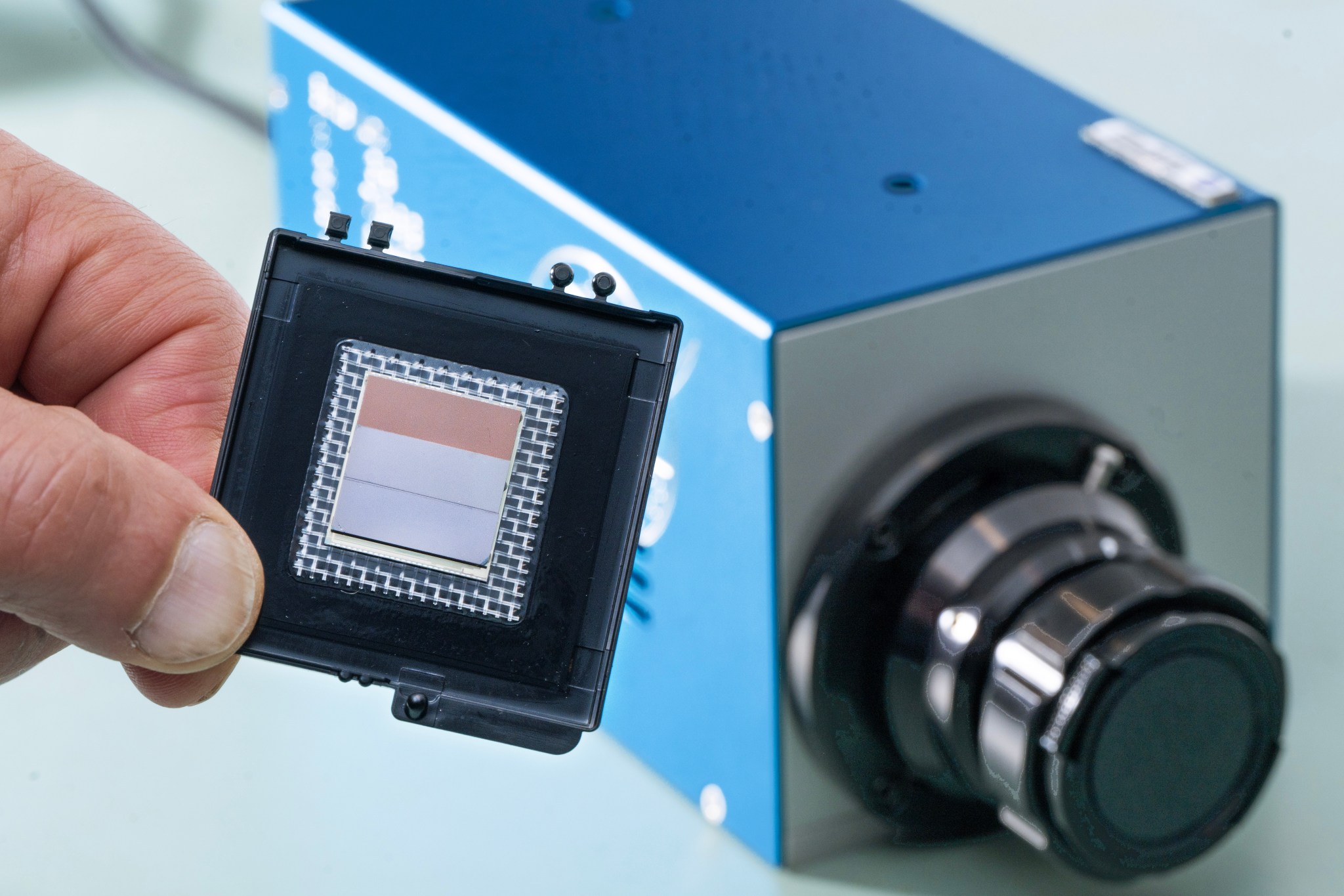
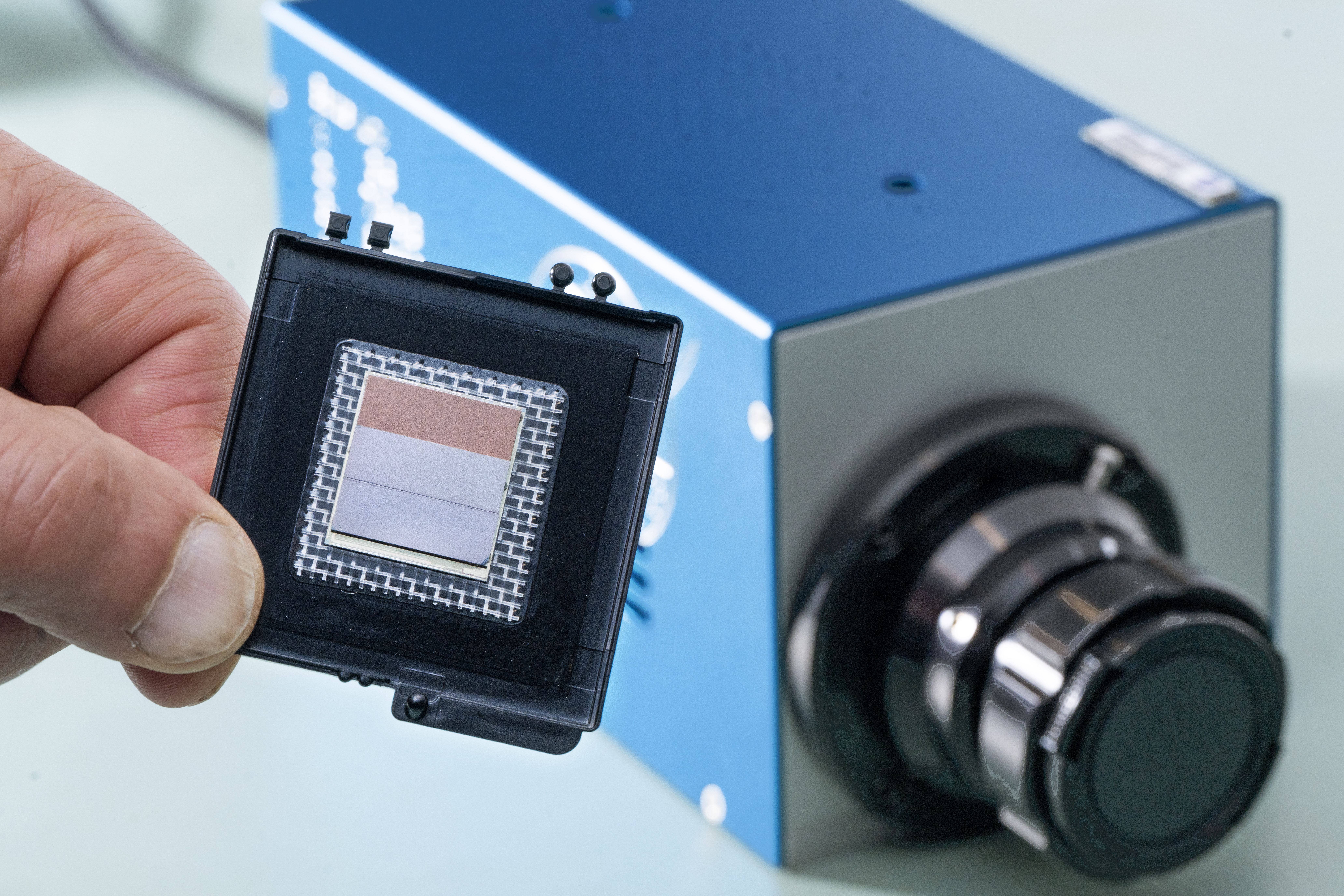
 Goddard engineer Murzy Jhabvala holds the heart of his Compact Thermal Imager camera technology – a high-resolution, high-spectral range infrared sensor suitable for small satellites and missions to other solar-system objects. “Attaching filters directly to the detector eliminates the substantial mass of traditional lens and filter systems,” Hewagama said. “This allows a low-mass instrument with a compact focal plane which can now be chilled for infrared detection using smaller, more efficient coolers. Smaller satellites and missions can benefit from their resolution and accuracy.”
Engineer Murzy Jhabvala led the initial sensor development at NASA’s Goddard Space Flight Center in Greenbelt, Maryland, as well as leading today’s filter integration efforts.
Jhabvala also led the Compact Thermal Imager experiment on the International Space Station that demonstrated how the new sensor technology could survive in space while proving a major success for Earth science. More than 15 million images captured in two infrared bands earned inventors, Jhabvala, and NASA Goddard colleagues Don Jennings and Compton Tucker an agency Invention of the Year award for 2021.
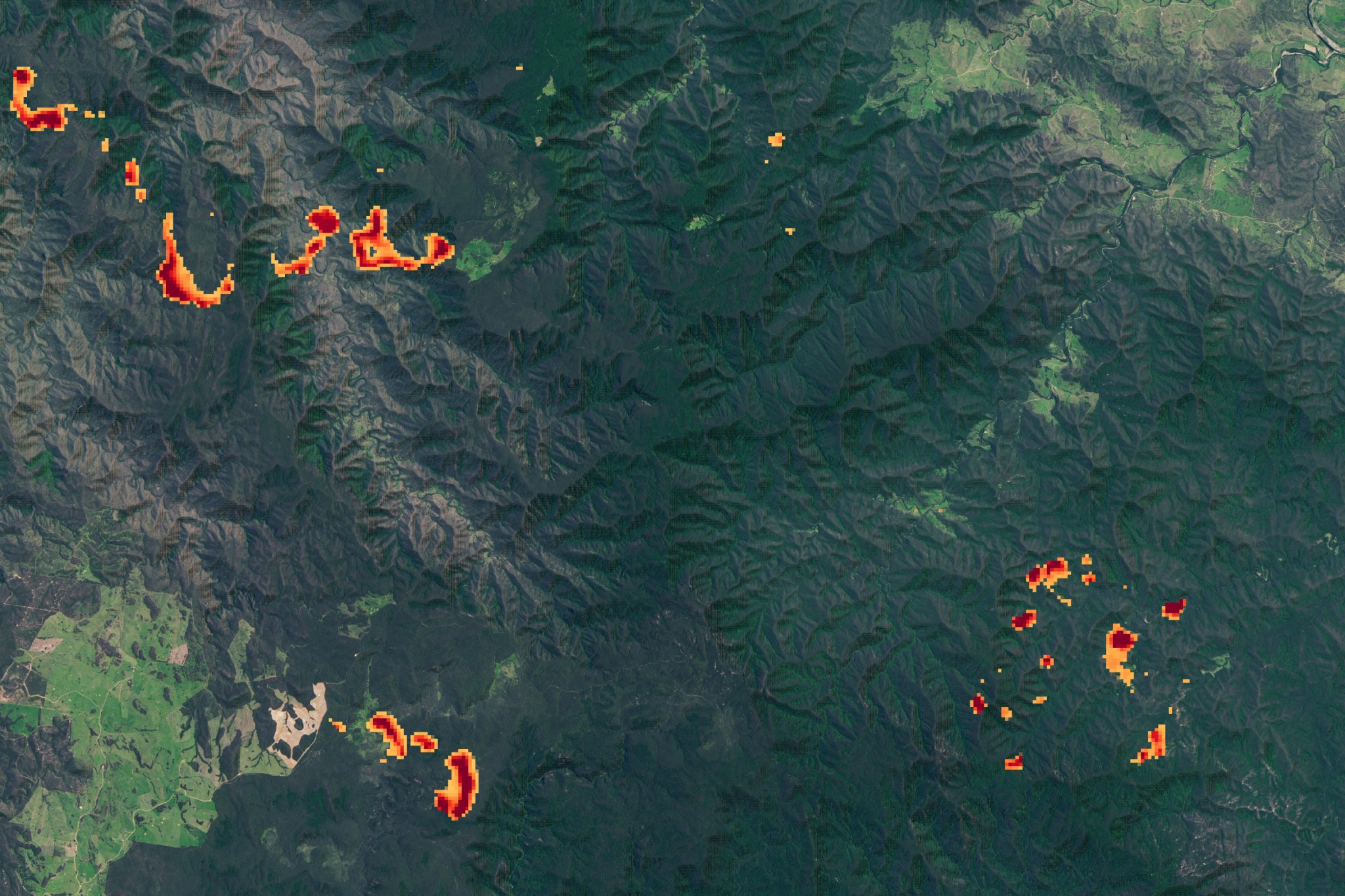
 The Compact Thermal Imager captured unusually severe fires in Australia from its perch on the International Space Station in 2019 and 2020. With its high resolution, detected the shape and location of fire fronts and how far they were from settled areas — information critically important to first responders. Credit: NASA Data from the test provided detailed information about wildfires, better understanding of the vertical structure of Earth’s clouds and atmosphere, and captured an updraft caused by wind lifting off Earth’s land features called a gravity wave.
The groundbreaking infrared sensors use layers of repeating molecular structures to interact with individual photons, or units of light. The sensors resolve more wavelengths of infrared at a higher resolution: 260 feet (80 meters) per pixel from orbit compared to 1,000 to 3,000 feet (375 to 1,000 meters) possible with current thermal cameras.
The success of these heat-measuring cameras has drawn investments from NASA’s Earth Science Technology Office (ESTO), Small Business Innovation and Research, and other programs to further customize their reach and applications.
Jhabvala and NASA’s Advanced Land Imaging Thermal IR Sensor (ALTIRS) team are developing a six-band version for this year’s LiDAR, Hyperspectral, & Thermal Imager (G-LiHT) airborne project. This first-of-its-kind camera will measure surface heat and enable pollution monitoring and fire observations at high frame rates, he said.
NASA Goddard Earth scientist Doug Morton leads an ESTO project developing a Compact Fire Imager for wildfire detection and prediction.
“We’re not going to see fewer fires, so we’re trying to understand how fires release energy over their life cycle,” Morton said. “This will help us better understand the new nature of fires in an increasingly flammable world.”
CFI will monitor both the hottest fires which release more greenhouse gases and cooler, smoldering coals and ashes which produce more carbon monoxide and airborne particles like smoke and ash.
“Those are key ingredients when it comes to safety and understanding the greenhouse gases released by burning,” Morton said.
After they test the fire imager on airborne campaigns, Morton’s team envisions outfitting a fleet of 10 small satellites to provide global information about fires with more images per day.
Combined with next generation computer models, he said, “this information can help the forest service and other firefighting agencies prevent fires, improve safety for firefighters on the front lines, and protect the life and property of those living in the path of fires.”
Probing Clouds on Earth and Beyond
Outfitted with polarization filters, the sensor could measure how ice particles in Earth’s upper atmosphere clouds scatter and polarize light, NASA Goddard Earth scientist Dong Wu said.
This applications would complement NASA’s PACE — Plankton, Aerosol, Cloud, ocean Ecosystem — mission, Wu said, which revealed its first light images earlier this month. Both measure the polarization of light wave’s orientation in relation to the direction of travel from different parts of the infrared spectrum.
“The PACE polarimeters monitor visible and shortwave-infrared light,” he explained. “The mission will focus on aerosol and ocean color sciences from daytime observations. At mid- and long-infrared wavelengths, the new Infrared polarimeter would capture cloud and surface properties from both day and night observations.”
In another effort, Hewagama is working Jhabvala and Jennings to incorporate linear variable filters which provide even greater detail within the infrared spectrum. The filters reveal atmospheric molecules’ rotation and vibration as well as Earth’s surface composition.
That technology could also benefit missions to rocky planets, comets, and asteroids, planetary scientist Carrie Anderson said. She said they could identify ice and volatile compounds emitted in enormous plumes from Saturn’s moon Enceladus.
“They are essentially geysers of ice,” she said, “which of course are cold, but emit light within the new infrared sensor’s detection limits. Looking at the plumes against the backdrop of the Sun would allow us to identify their composition and vertical distribution very clearly.”
NASA’s Goddard Space Flight Center, Greenbelt, Md.
Keep Exploring Discover More Topics From NASA Goddard Technology Innovations Goddard’s Office of the Chief Technologist oversees the center’s technology research and development efforts and provides updates on the latest…


