
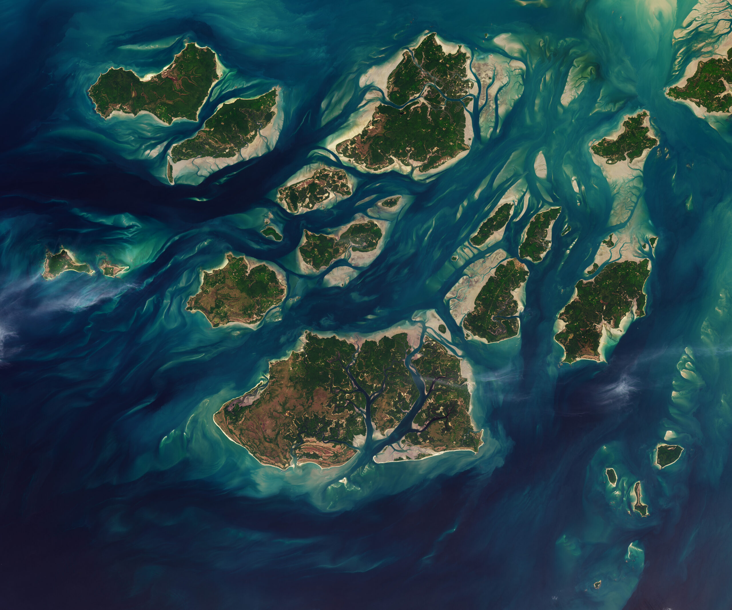
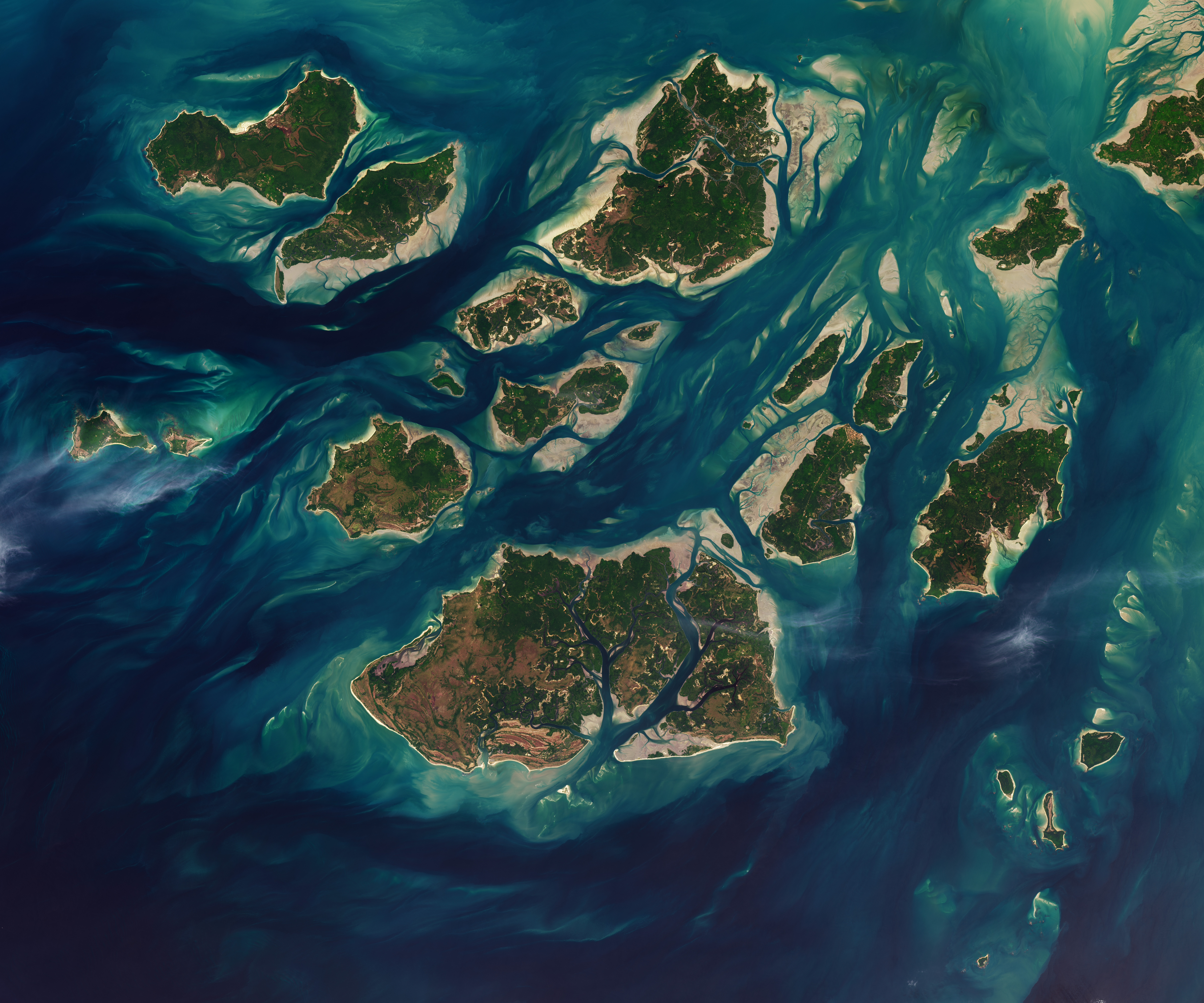
 NASA/Lauren Dauphin, USGS Twice each day, tides ebb and flow through a maze of sandy channels, mudflats, and mangrove forests that flank the 88 islands and islets of Guinea-Bissau’s Bijagós Archipelago (Arquipélago dos Bijagós in Portuguese). Seen from above in this image from Nov. 28, 2025, the process leads to stark changes to the landscape: around low tide, intertidal mudflats and sandflats emerge from the sea, causing islands to grow significantly before shrinking again hours later.
Learn more about the region and its wildlife.
Text credit: Adam Voiland
Image credit: NASA/Lauren Dauphin, USGS